Aerial LiDAR Acquisition
How it works……
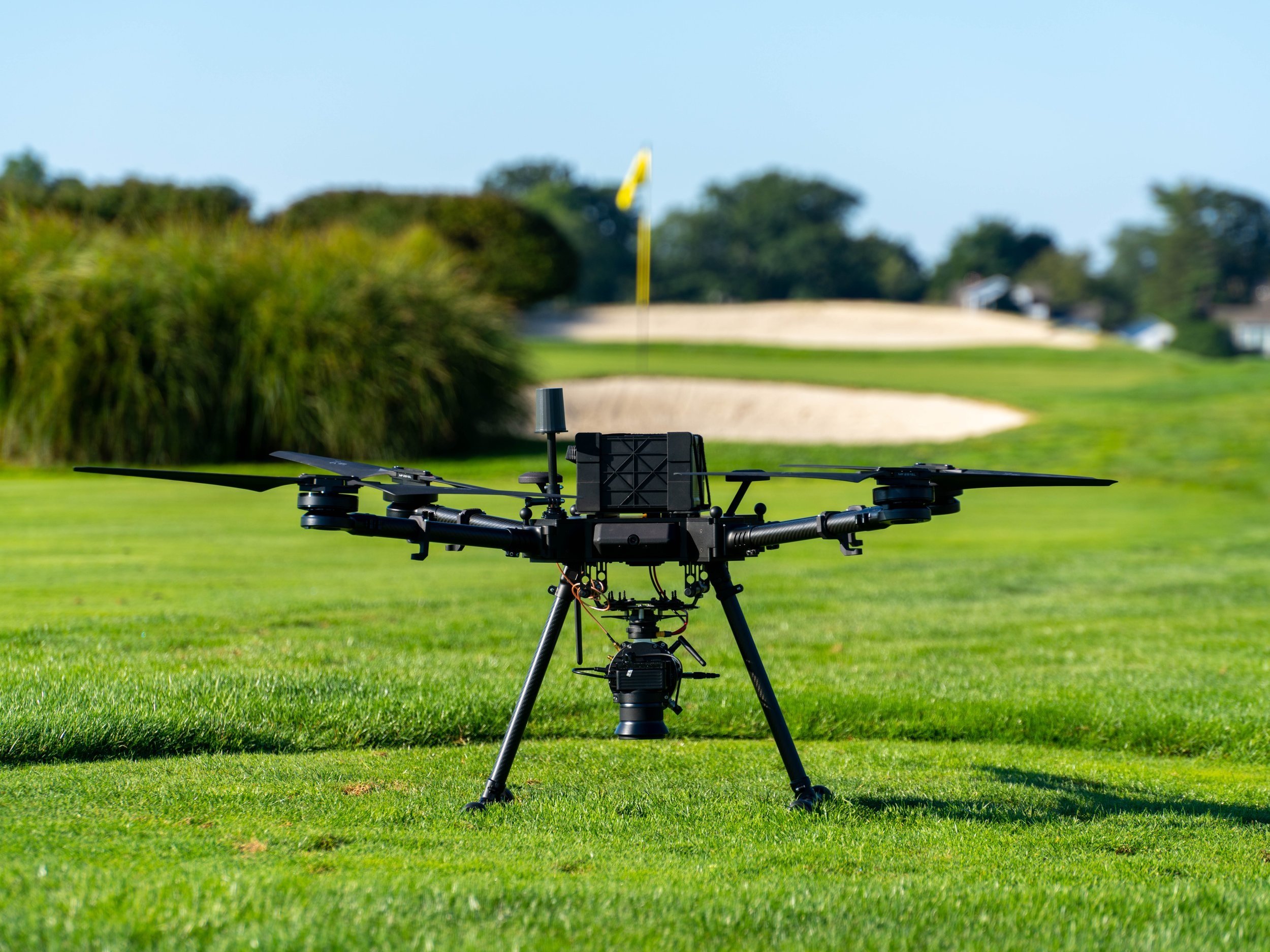
LiDAR, which stands for Light Detection and Ranging, is a remarkable technology that has revolutionized various industries. It works by sending out an astonishing number of laser pulses - over 240,000 per second, to be precise. These pulses bounce off the surface they encounter and are then received by the sensor. By measuring the time it takes for the laser pulses to travel to the surface and back, LiDAR calculates the distance and creates a detailed 3D map of the environment.
The accuracy of LiDAR is truly remarkable. Each of the millions of laser returns has an impressive accuracy of up to 2cm in both the x and y axes. This level of precision allows the creation of a highly accurate 3D map, which can be utilized in a wide range of applications. From topographic mapping to surveying and asset inspection, LiDAR has proven its worth in countless scenarios.
One of the key advantages of LiDAR is its ability to provide accurate measurements even in challenging environments. It can navigate through dense foliage, adapt to varying light conditions, and even penetrate certain materials. This resilience makes it an indispensable tool for industries like forestry, architecture, and urban planning.
Moreover, LiDAR is often integrated with other sensors, such as cameras and GPS, to provide a more comprehensive view of the environment. By combining these different technologies, the resulting data becomes even richer and more informative. For example, LiDAR data can be fused with camera imagery to create detailed 3D models, allowing researchers to analyze the landscape from various perspectives.
Our clients use SkyVue as a tool to help with their projects as needed.