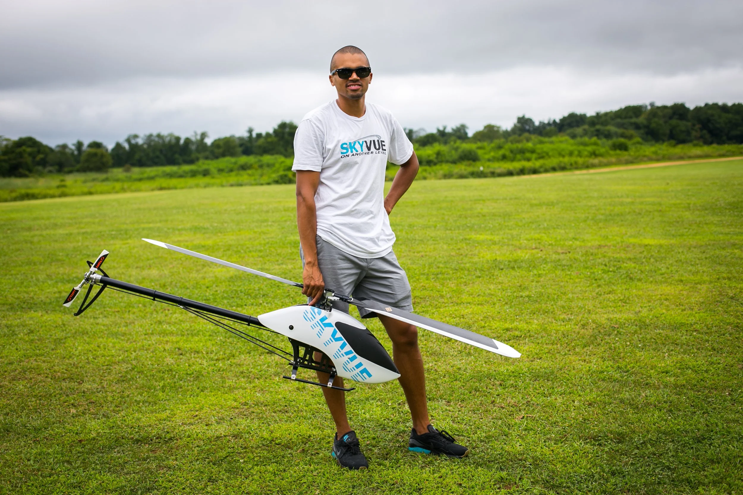
About Me: Blending Experience and Innovation in Aerial Surveying
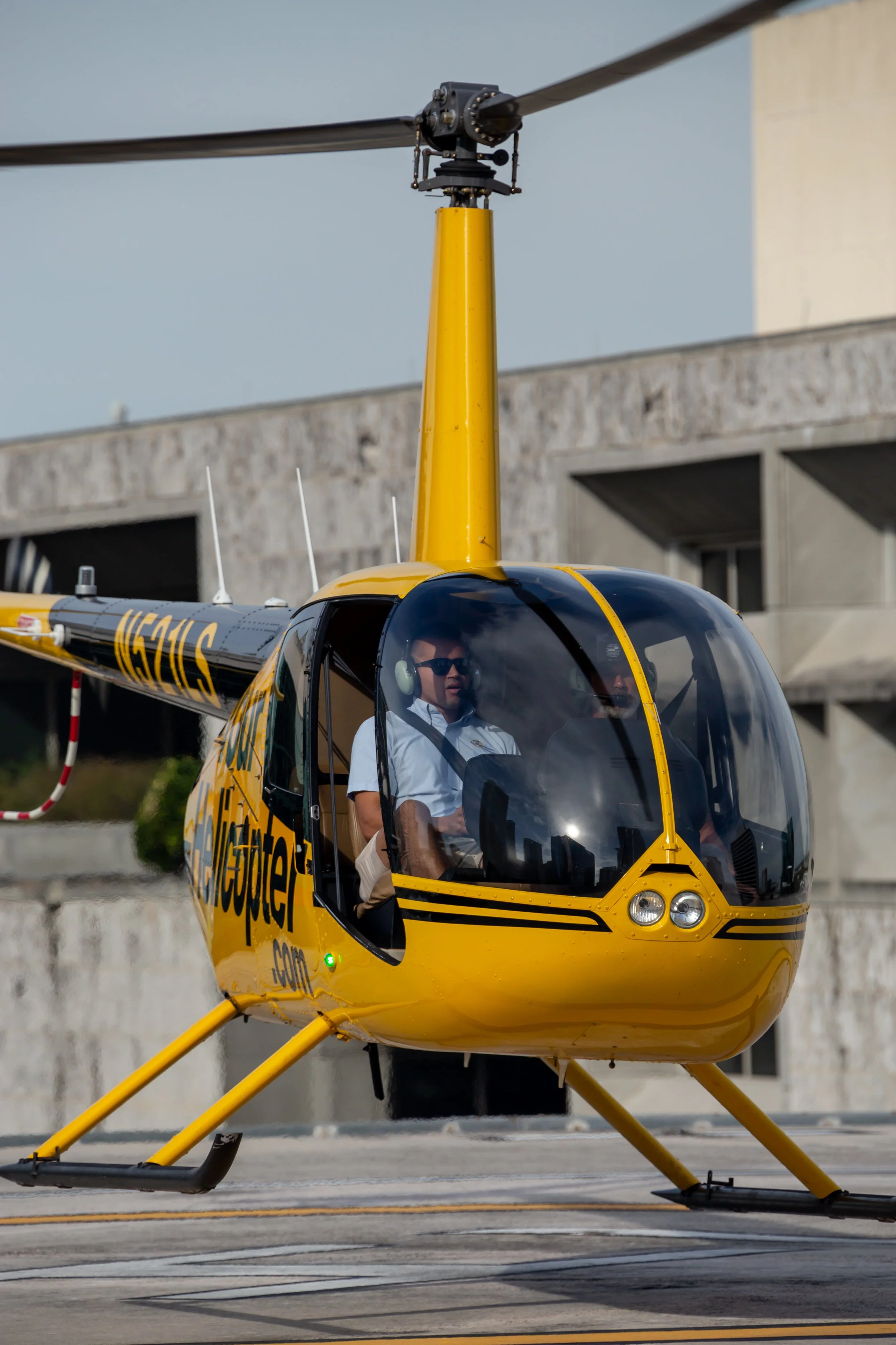
Welcome to a journey marked by over 30 years of unwavering dedication and expertise in aerial surveying and mapping. As a seasoned UAV pilot and a helicopter pilot for 8 years, I have been at the forefront of embracing and mastering LiDAR technology. This is indeed an exhilarating era to be part of the surveying and mapping industry.
My extensive experience isn't just about piloting drones; it's about leveraging their full potential. I have developed a deep understanding of drone technology through hands-on experience with various drone platforms. My work spans diverse applications, from intricate aerial mapping and surveying projects to precision inspections and creative aerial photography.
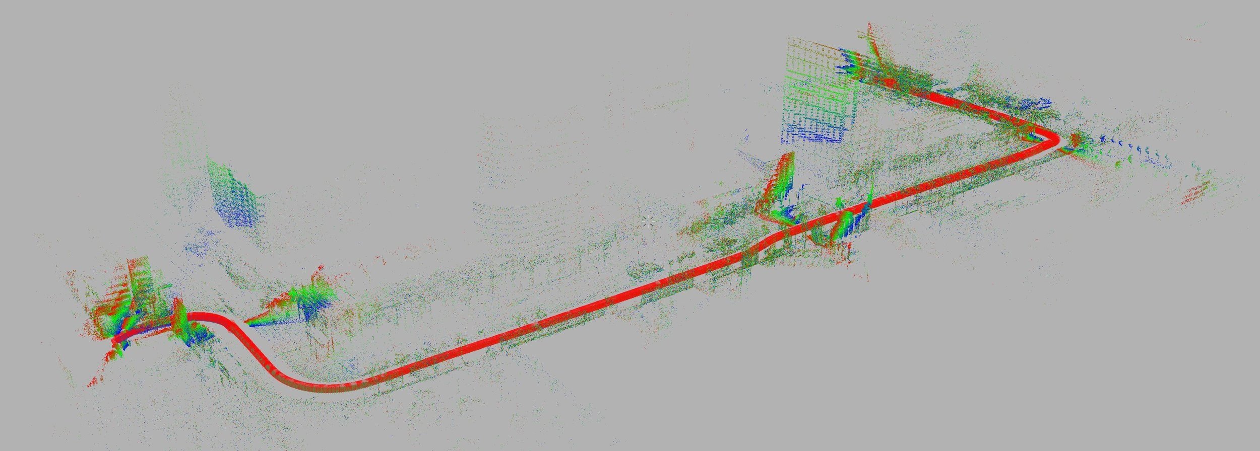
The integration of drones and LiDAR into my professional repertoire, combined with my enriched airspace knowledge gained through collaboration with HeliExperts, has been a game changer. This synergy has unlocked levels of speed and accuracy in obstacle evaluation that are unparalleled in the industry.
I am continuously exploring ways to maximize the capabilities of these cutting-edge tools. My goal is to collaborate with surveying and engineering companies, as well as organizations, to elevate their operational efficiency and project outcomes.
Looking ahead, I am confident that my blend of drone technology know-how and seasoned experience in surveying and mapping positions me uniquely as the industry evolves. With new applications on the horizon, I am ready to meet the demands of an ever-changing landscape, contributing to advancements in aerial surveying and mapping.
As the industry continues to evolve, I am committed to continuously exploring and discovering innovative ways to maximize the capabilities of these cutting-edge tools. My primary objective is to establish productive collaborations with surveying and engineering companies, as well as other organizations, in order to effectively elevate their operational efficiency and enhance project outcomes. I firmly believe that my combination of extensive drone technology know-how and seasoned experience in surveying and mapping enables me to offer a unique skill set in the ever-changing market. Looking forward, I am confident that I can stay ahead of the curve and adapt to emerging applications, contributing to the ongoing advancements in aerial surveying and mapping. With a constant eye on the horizon, I am fully prepared to meet the demands of this dynamic and challenging industry landscape.